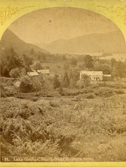
The above picture is a Stoddard but when looking at these old pictures I always try to envision what the spot it was taken from looks like today.
Does this picture show the intersection of Routes 6A & 6B by the old firehouse or was it taken a little closer to the present day Post Office from what is now the golf course?
Was it taken someplace else, perhaps farther down toward Bluff Head?
If you have any thoughts please let me know.
Click on the image to see full-scale.

