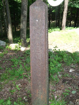
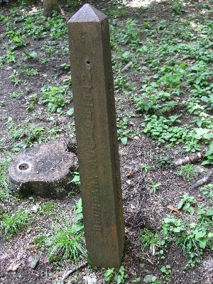
This is one of the more interesting things I have run across regarding local history. Like any truly good story, it’s also a good mystery.
When I posted this story this past summer about the Military Road Marker off of Washington County Route 6, Marilyn Borden contacted me about an interesting old survey marker in the middle of her yard. Here is a picture of it.
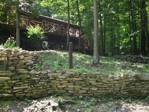
It is unlike any survey marker I have ever seen and she said the surveyors who surveyed the property for her and her husband, William, had never seen anything like it either. She would go on to say; “Not many people know it is there. It is a bit of a curiosity when people see it!”
Here are close-ups of it with captions of what is inscribed on each side. (You can click on each image to see them in full resolution.)
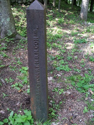
LT COLONEL I. B. B. ESTCOURT, H. B. M. COMMISSIONER.
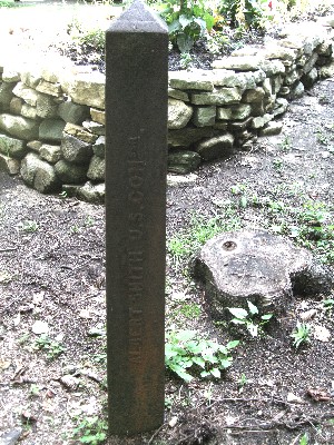
ALBERT SMITH, U. S. COMMISSIONER.
The Dresden town historian, Agnes Peterson, did some research on it years ago but was never able to come up with anything conclusive. It seems to have something to do with the United States boundary with Canada and the War of 1812. If you scroll to almost the middle of this page, you can see a drawing of it. Read the paragraph above the drawing and see footnote # 45.
I have attempted to research the historical significance of this marker over the last few months but have come up empty. I’ve presented here what Marilyn Borden has shared with me and if anyone would like to continue the research, I will be happy to present any findings here.
A good mystery always starts with a question. What is the historical significance of this marker?

